WEATHER ALERT
ENVIRONMENT CANADA
**************************
Rainfall warning continued for:
- Wawa - Pukaskwa Park
- Sault Ste. Marie - Superior East
- Greater Sudbury and vicinity
- Elliot Lake - Ranger Lake
- Chapleau - Gogama
- Temiskaming Shores - Temagami
- North Bay - West Nipissing
- Blind River - Thessalon
- Espanola - Killarney
Current details:
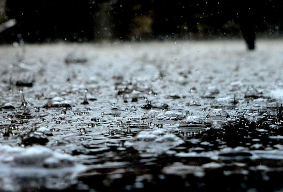
Periods of heavy rain and thunderstorms will bring significant rainfall today.
Hazards:
Total local rainfall amounts of 50 to 75 mm with locally higher amounts possible.
Rainfall rates of 30 to 40 mm per hour possible.
Timing:
Beginning this morning continuing into tonight.
Discussion:
Multiple rounds of showers and thunderstorms are expected to track along a stalled front today which will lead to a swath of significant rain. The heaviest rainfall is expected this morning into early this evening. Showers and thunderstorms will continue tonight however they are expected to be lighter.
For information concerning flooding, please consult your local Conservation Authority or Ontario Ministry of Natural Resources and Forestry office. Visit Ontario.ca/floods for the latest details.
Heavy downpours can cause flash floods and water pooling on roads. Localized flooding in low-lying areas is possible.
Watch for possible washouts near rivers, creeks and culverts.
Please continue to monitor alerts and forecasts issued by Environment Canada. To report severe weather, send an email to ONstorm@ec.gc.ca or tweet reports using #ONStorm.
**************************