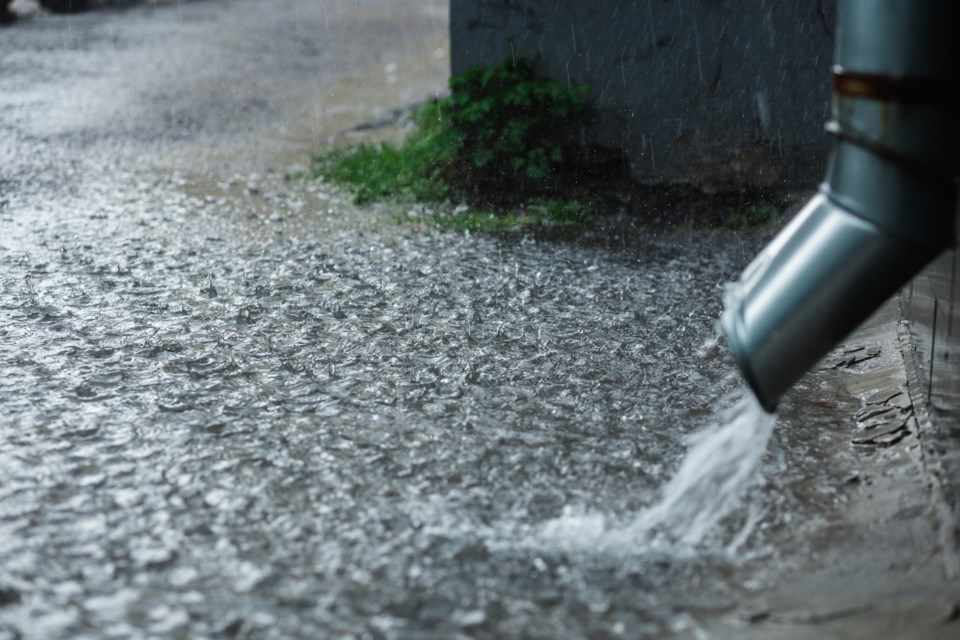
Rainfall throughout the weekend could cause flooding in some areas.
That’s according to the Sault Ste. Marie Region Conservation Authority, which has issued a flood outlook statement.
It says right now, local rivers, creeks and streams are flowing at normal levels across the watershed, but that could change due to anticipated heavy rainfall in the forecast, especially in areas with poor drainage.
“The current weather forecast anticipates significant rainfall with accumulations ranging from 50 to 75 mm, primarily attributed to thunderstorm activity,” the statement said.
“Localized areas may experience even higher precipitation totals, especially if multiple thunderstorms develop.”
Rain is expected to start tonight and persist through the weekend.
“Residents and visitors are urged to stay away from the flood control channels and all waterways,” the conservation authority added. “Flows can be especially dangerous and stream banks can be slippery.”
“Please keep children and pets away from waterways during this time.”