WEATHER ALERT
ENVIRONMENT CANADA
************************
Special weather statement issued for:
Wawa - White River - Pukaskwa, Ont. (048700)
Sault Ste. Marie - Superior East, Ont. (048800)
Current details:
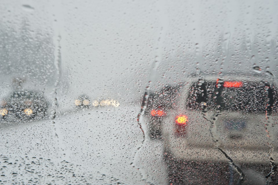
A strong low pressure system will affect the area beginning on Tuesday through Wednesday bringing with it a multitude of precipitation types.
Precipitation will begin as periodic showers on Tuesday morning. Showers will transition over to freezing rain or ice pellets and then over to snow Tuesday night. During the transition from liquid to frozen precipitation, temperatures will rapidly drop into the minus teens leading to the potential of a flash freeze. The snow is expected to taper off Wednesday evening with 5 to 10 centimetres possible.
Hazardous travel conditions are expected as roads may become icy with the freezing rain, snow and flash freeze.
Please continue to monitor alerts and forecasts issued by Environment Canada. To report severe weather, send an email to ONstorm@ec.gc.ca or tweet reports using #ONStorm.
More details on the alert are available here.
************************