The good news is that there were no new wildland fires confirmed by early evening on Tuesday, according to the Ministry of Natural Resources and Forestry.
However, there are still four active wildland fires in the northeast fire region, according to Aviation, Forest Fire and Emergency Services – and one of them is more than 6,000 hectares in size.
- Sault Ste. Marie 5 (SAU005) is a 0.7 hectare fire that is under control. This fire is located about 5 km west of Goulais River Provincial Park.
- Sudbury 13 (SUD013) is a 2.8-hectare fire that is under control. This fire is located about 9 kilometres north of the community of Killarney and along the shore just west of the boundary of Killarney Provincial Park.
- Cochrane 8 (COC008) is a 35-hectare fire that is being observed. This fire is located about 57.5 km northwest of Moosonee.
- Cochrane 9 (COC009) is a 6,022-hectare fire that is being observed. This fire is located east of Parson Lake and 8 km west of the Quebec border.
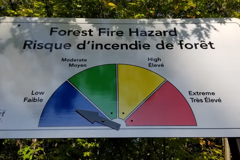
The fire hazard is moderate to high for most of the northeast region except for an area of low fire hazard value from Sault Ste. Marie to Wawa and stretching northeast to north of Timmins, the AFFES said.
You can check the current wildland fire danger rating on this interactive map