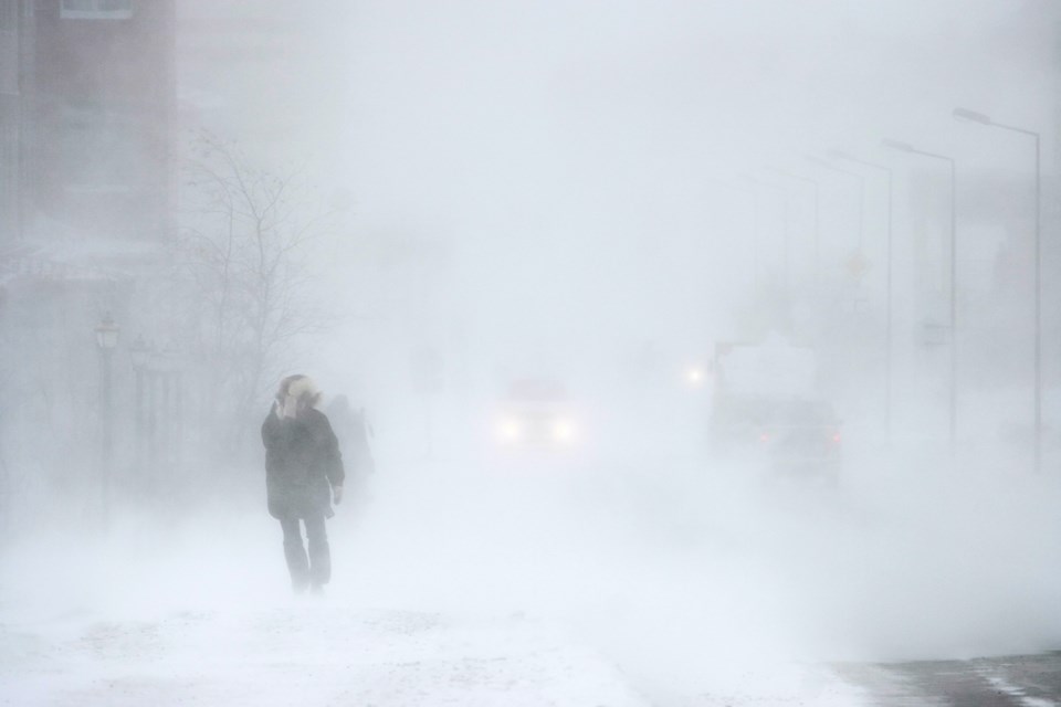
Environment Canada has upgraded its weather warnings for the Sault as well as communities just to the north in two separate weather alerts.
The advisory for the Sault and St. Joseph Island has been upgraded to a snow squall warning with lake effect snow beginning in the afternoon.
Communities to the north, meanwhile, could be in for a "multi-day lake effect snow squall event" beginning this afternoon.
Full details are in the following Environment Canada weather alerts:
Issued at 2024-01-14 8:51 a.m. by Environment Canada:
Snow squall warning replaces snow squall watch for:
Sault Ste. Marie - St. Joseph Island
Elliot Lake - Ranger Lake
Current details:
Snow squalls this afternoon into tonight.
Hazards:
10 to 20 cm of snow.
Significantly reduced visibility due to heavy snow and local blowing snow.
Timing:
Beginning this afternoon and ending tonight.
Discussion:
A lake effect snow band is expected to affect the Sault Ste. Marie region beginning this afternoon. The band should move north of the city towards Montreal River Harbour tonight.
The band may extended inland towards Ranger Lake tonight.
Visibility will be suddenly reduced to near zero at times in heavy snow and blowing snow. Rapidly accumulating snow could make travel difficult over some locations.
Prepare for quickly changing and deteriorating travel conditions. Consider postponing non-essential travel until conditions improve.
Snow squall warning replaces snow squall watch for:
Searchmont - Montreal River Harbour - Batchawana Bay
Agawa - Lake Superior Park
Current details:
Multi-day lake effect snow squall event beginning this afternoon.
Hazards:
30 to 50 cm of snow, with locally higher amounts possible.
Significantly reduced visibility due to heavy snow and local blowing snow.
Timing:
Beginning this afternoon and possibly lasting into Wednesday.
Discussion:
Lake effect snow is expected to shift north of Sault Ste. Marie this afternoon and affect portions of Superior East through Wednesday.
Portions of Superior East may see multi-day snowfall totals possibly exceeding 50 cm.
Visibility will be suddenly reduced to near zero at times in heavy snow and blowing snow. Road closures are possible.
Prepare for quickly changing and deteriorating travel conditions. Consider postponing non-essential travel until conditions improve.
Please continue to monitor alerts and forecasts issued by Environment Canada. To report severe weather, send an email to ONstorm@ec.gc.ca or tweet reports using #ONStorm.
More details on the alert are available here.