WEATHER ALERTS
ENVIRONMENT CANADA
*******************************
Weather Advisory in effect for:
• Searchmont - Montreal River Harbour - Batchawana Bay
• Agawa - Lake Superior Park
• Wawa - White River - Pukaskwa
• White River - Dubreuilville
Winter weather travel advisory in effect for today.
Hazards:
Snowfall accumulations of 5 to 10 cm, with locally higher amounts possible. The snow will fall within a short period of time in some areas.
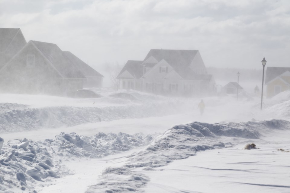
Significantly reduced visibility in bursts of heavy snow.
Timing:
Beginning this afternoon and ending tonight.
Discussion:
Flurries are possible throughout this morning before bands of intense snowfall begin affecting the region in the afternoon. Within these bands of snow, visibility will be significantly reduced due to high snowfall rates. The most intense snow is expected to move out of the area from west to east tonight.
Surfaces such as highways, roads, walkways and parking lots may become difficult to navigate due to accumulating snow. Visibility may be suddenly reduced at times in heavy snow.
Be prepared to adjust your driving with changing road conditions. Take extra care when walking or driving in affected areas.
For road conditions and other traveller information from the Ministry of Transportation, visit ontario.ca/511, twitter.com/511Ontario, or call 5-1-1.
Please continue to monitor alerts and forecasts issued by Environment Canada. To report severe weather, send an email to ONstorm@ec.gc.ca or tweet reports using #ONStorm.
*******************************
Weather Advisory in effect for:
• Elliot Lake - Ranger Lake
• Greater Sudbury and vicinity
• Manitoulin - Blind River - Killarney
Winter weather travel advisory in effect for this afternoon.
Hazards:
Localized snowfall accumulations of 10 to 15 cm, with higher amounts possible. The snow will fall within a short period of time in some areas.
Significantly reduced visibility in bursts of heavy snow.
Timing:
Beginning this afternoon and ending by early Saturday morning.
Discussion:
Scattered flurries are possible this morning before bands of intense snowfall begin affecting the region in the afternoon. Within these bands of snow, visibility will be significantly reduced due to high snowfall rates. The most intense snow is expected to move out of the area from west to east tonight.
Surfaces such as highways, roads, walkways and parking lots may become difficult to navigate due to accumulating snow. Visibility may be suddenly reduced at times in heavy snow.
Be prepared to adjust your driving with changing road conditions. Take extra care when walking or driving in affected areas.
For road conditions and other traveller information from the Ministry of Transportation, visit ontario.ca/511, twitter.com/511Ontario, or call 5-1-1.
Please continue to monitor alerts and forecasts issued by Environment Canada. To report severe weather, send an email to ONstorm@ec.gc.ca or tweet reports using #ONStorm.
*******************************
